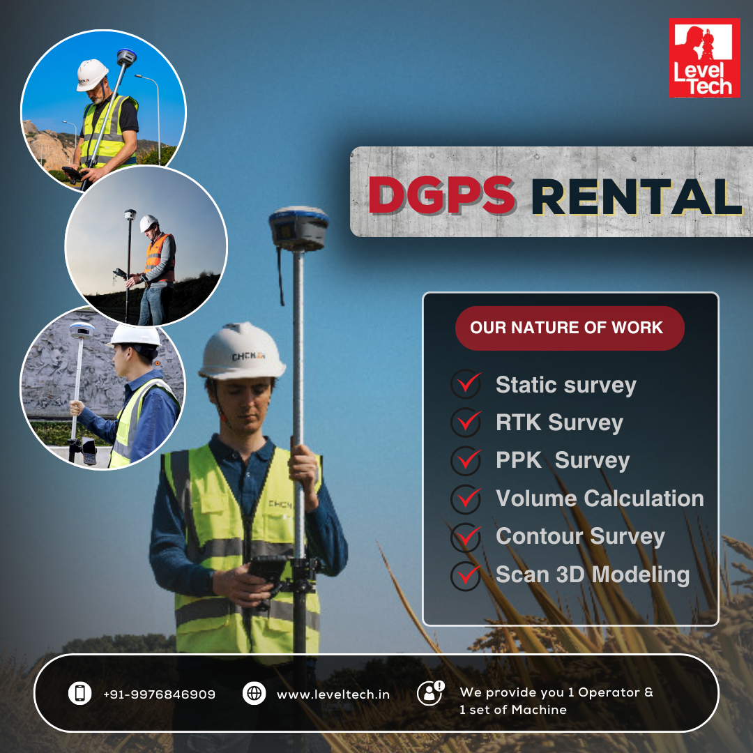
In recent years, drones have emerged as a game-changing technology in various industries, and land surveying is no exception. These unmanned aerial vehicles (UAVs) are transforming traditional surveying methods, offering new levels of precision, efficiency, and data collection capabilities. In this blog, we’ll explore the benefits of using Drone for Land Survey, the technology behind them, and how they are reshaping the industry.
The Advantages of Drones in Land Surveying
1. Increased Efficiency
One of the most significant benefits of using drones for land surveying is the speed at which data can be collected. Traditional surveying methods often require extensive ground time and manpower. Drones can cover large areas quickly, drastically reducing the time needed for data acquisition. This efficiency translates into cost savings for projects and enables surveyors to take on more work.
2. Enhanced Data Accuracy
Drones equipped with high-resolution cameras and sensors can capture precise geospatial data. By using photogrammetry and LiDAR technology, UAVs can generate detailed topographic maps, 3D models, and digital elevation models with remarkable accuracy. This high level of precision is essential for tasks such as construction layout, land use planning, and environmental assessments.
3. Access to Difficult Terrain
Surveying in challenging environments—such as dense forests, rugged mountains, or disaster-stricken areas—can be risky and time-consuming. Drones can easily navigate these terrains without putting personnel in harm's way. Their ability to fly over obstacles and gather data from hard-to-reach locations makes them invaluable for comprehensive land surveys.
4. Cost-Effectiveness
While the initial investment in drone technology may seem significant, the long-term savings often outweigh the costs. Drone for Land Survey reduce labor hours and associated expenses, such as transportation and equipment. Additionally, the efficiency gains can lead to quicker project turnarounds, allowing firms to take on more contracts and increase revenue.
5. Real-Time Data Collection and Analysis
Modern drones can transmit data in real time, allowing surveyors to analyze the information on-site. This immediate feedback enables quicker decision-making and adjustments during the survey process. The ability to assess the data as it’s collected can lead to more accurate results and fewer errors.
Technology Behind Drones for Land Surveying
Drones designed for land surveying come equipped with various advanced technologies, including:
- High-Resolution Cameras: These capture detailed aerial images that can be processed into 3D models and orthomosaic maps.
- LiDAR Sensors: Light Detection and Ranging (LiDAR) technology enables precise distance measurements, producing detailed 3D representations of the surveyed area.
- GPS and GNSS Integration: Accurate positioning systems ensure that data is collected with a high degree of precision, critical for effective surveying.
- Software Solutions: Various software platforms are available for processing and analyzing the data collected by drones, streamlining workflows and improving outcomes.
Applications of Drones in Land Surveying
Drones have a wide range of applications in land surveying, including:
- Topographic Mapping: Create detailed maps of land features for planning and development.
- Construction Monitoring: Track progress and verify construction layouts against project plans.
- Environmental Monitoring: Assess land use changes, vegetation health, and potential environmental impacts.
- Mining and Quarrying: Conduct volumetric analysis and site assessments efficiently.
Conclusion
Drones are revolutionizing the field of land surveying, offering unprecedented levels of efficiency, accuracy, and access to challenging terrains. As technology continues to advance, the capabilities of UAVs will only expand, making them an essential tool for surveyors. By embracing Drone for Land Survey, professionals can enhance their service offerings, streamline workflows, and ultimately deliver better results for their clients.


Comments