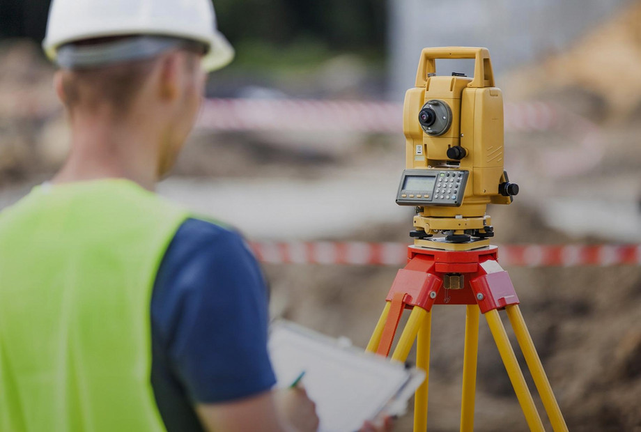
Land surveyors play a crucial role in mapping and understanding the physical landscape. Their expertise lies in measuring, mapping, and analyzing land and its features. In this article, we explore the world of land surveyors, their essential responsibilities, the advanced tools they use, and the significance of their work in various industries.
The Role of Land Surveyors
Land surveyors are professionals who specialize in determining land boundaries, collecting accurate data, and creating detailed maps of various terrains. They utilize advanced surveying techniques and equipment to measure and document land features, such as topography, boundaries, elevation, and natural or man-made structures. Land surveyors are integral in land development projects, urban planning, construction, and environmental assessments. Their work ensures that land is properly utilized, boundaries are accurately defined, and infrastructure projects are executed with precision and efficiency.
The Importance of Accurate Land Measurement
Accurate land measurement is vital for multiple reasons. In land development, precise measurements enable effective planning and utilization of available space. Accurate boundary determination helps avoid legal disputes and ensures proper ownership rights. Land surveyors play a critical role in assessing the feasibility of construction projects, as their measurements inform engineers and architects about the land's characteristics and limitations. Additionally, land surveyors contribute to environmental assessments by monitoring changes in land features over time. Their work is instrumental in preserving natural resources and assessing potential environmental impacts.
Advanced Tools and Techniques
Land surveyors employ a variety of advanced tools and techniques to carry out their work with precision. Traditional tools such as theodolites, total stations, and tape measures have been complemented by advanced technologies like GPS (Global Positioning System) and LiDAR (Light Detection and Ranging). These technologies provide accurate location data and detailed elevation measurements, allowing surveyors to create highly accurate maps and 3D models. Geographic Information System (GIS) software is also utilized to manage and analyze the collected survey data. By combining their expertise with cutting-edge tools, land surveyors ensure that their measurements are precise, reliable, and efficient.
The Role of Land Surveyors in Different Industries
Land surveyors have a significant impact on various industries. In land development, their work helps create accurate subdivision plans, land use zoning, and infrastructure layouts. In the construction industry, they provide essential data for site preparation, building design, and ensuring compliance with building codes. Land surveyors are also involved in transportation projects, mapping road networks, and designing efficient routes. In the energy sector, they play a vital role in site selection and surveying for oil and gas exploration, renewable energy projects, and transmission lines. Furthermore, land surveyors contribute to natural resource management, environmental conservation, and disaster management by mapping and monitoring land changes and potential hazards.
For More Info:-


.png)

Comments